HIKE
**The hikes below are accessed through Route 108 (the Notch Road), which is occasionally closed due to weather. Be sure to check with concierge before you make your way to the trails—if the Notch Road is closed, they’ll be happy to point you to other good trails.**
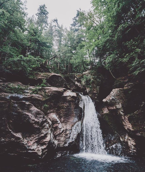
BINGHAM FALLS
Bingham Falls is an easy, short hike that leads to a set of cascading falls. There are many great vantage points for photography located above and below the falls. The main falls are tucked away along the walls of a deep, rocky gorge that has been formed naturally over time. If you wish to explore the second set of lower falls, make sure you have reliable footwear; the descent to the base of the lower falls is rocky and the boulders are (more often than not) wet and slippery. To get to the trailhead leading to the falls, look for the pull-offs on the Notch Road just south of Smuggler's Notch State Park. The entrance to the trailhead will be on the east side of the highway. Finding the trailhead can be tricky if you're not looking for the pull-offs; signs for the trail are somewhat tucked back into the woods a bit from the trailhead entrance.
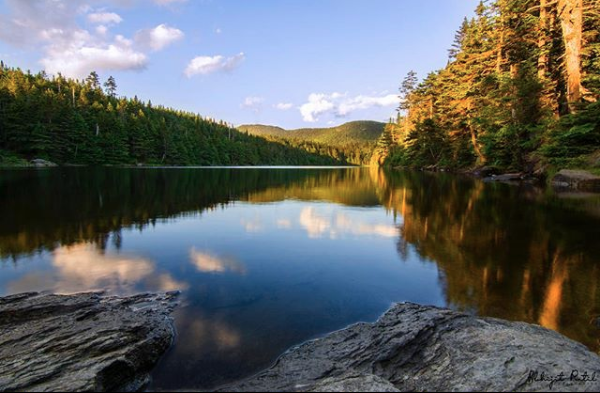
STERLING POND
Sterling Pond is a moderate 2-mile (approx) hike with a beautiful pond at the summit. The trailhead is accessed from the peak of the Route 108 (the Notch Road) in Smugglers' Notch. This trail is a short 1.1 miles each way, with a 1000' gain in elevation. It's steep, slick, and the trail is characterized by large boulders and heavy tree roots sprawling across the trail. Although the terrain can be difficult at times, this is a popular and well-worn trail, so you can often see where roots and boulders have been worn down and shaped into hand holds and stairs. Take advantage of those spots to help you through the elevation gain. Also, if you have knee problems, bring your hiking poles. You'll need them for the trip down. The first section of trail will give your legs and lungs a huge workout. It's a natural staircase for at least the first ¼ mile. After that, you'll find a few areas that flatten out (relatively speaking) where you can catch your breath as you go.
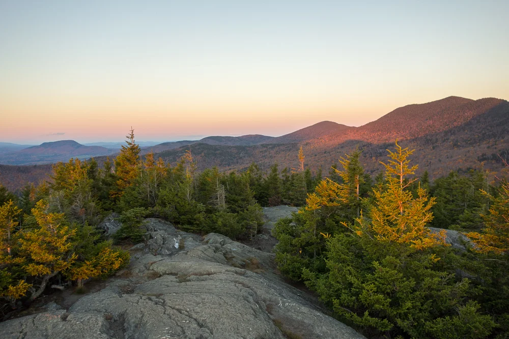
STOWE PINNACLE
Stowe Pinnacle Trail is a moderate 3.2 mile workout with high reward. From the trailhead, and after a continual uphill climb, you will reach scenic views from the summit of the valley and Mt. Mansfield.
JOG + BIKE
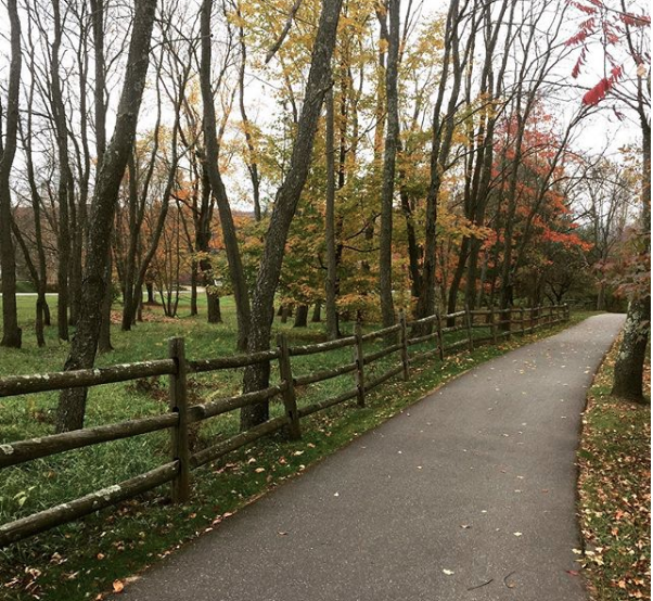
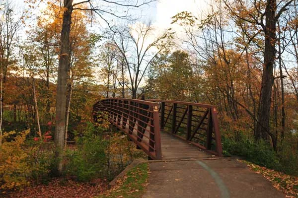
STOWE REC PATH
The Stowe Recreation Path (known locally as the “Rec Path”) is a perennial favorite among visitors and locals alike. It is a 5.5-mile one-way (i.e., not a loop) paved public path that is free to use and easy-to-access from pretty much any part of town. With a mostly flat and level trail experience, people of all ages enjoy easy traveling along the entire route by foot or bike. The Rec Path is open yearlong and features attractive bridges, swimming holes and picnic tables, as well as many quiet spots to take in the beautiful views of Stowe. Many area restaurants and shops are directly accessible from the path.

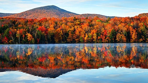
fall fun
Even if you’re not on a hike, you can take advantage of the crisp air by doing some fun fall activities that make your insides feel all warm and cozy. In and around Stowe, you can go apple picking, visit a pumpkin patch, drink some warm (or cold) cider (with a size of cider donuts), and/or get lost in a corn maze. The concierge at the Lodge will be happy to point you to your fall fun activity of choice!
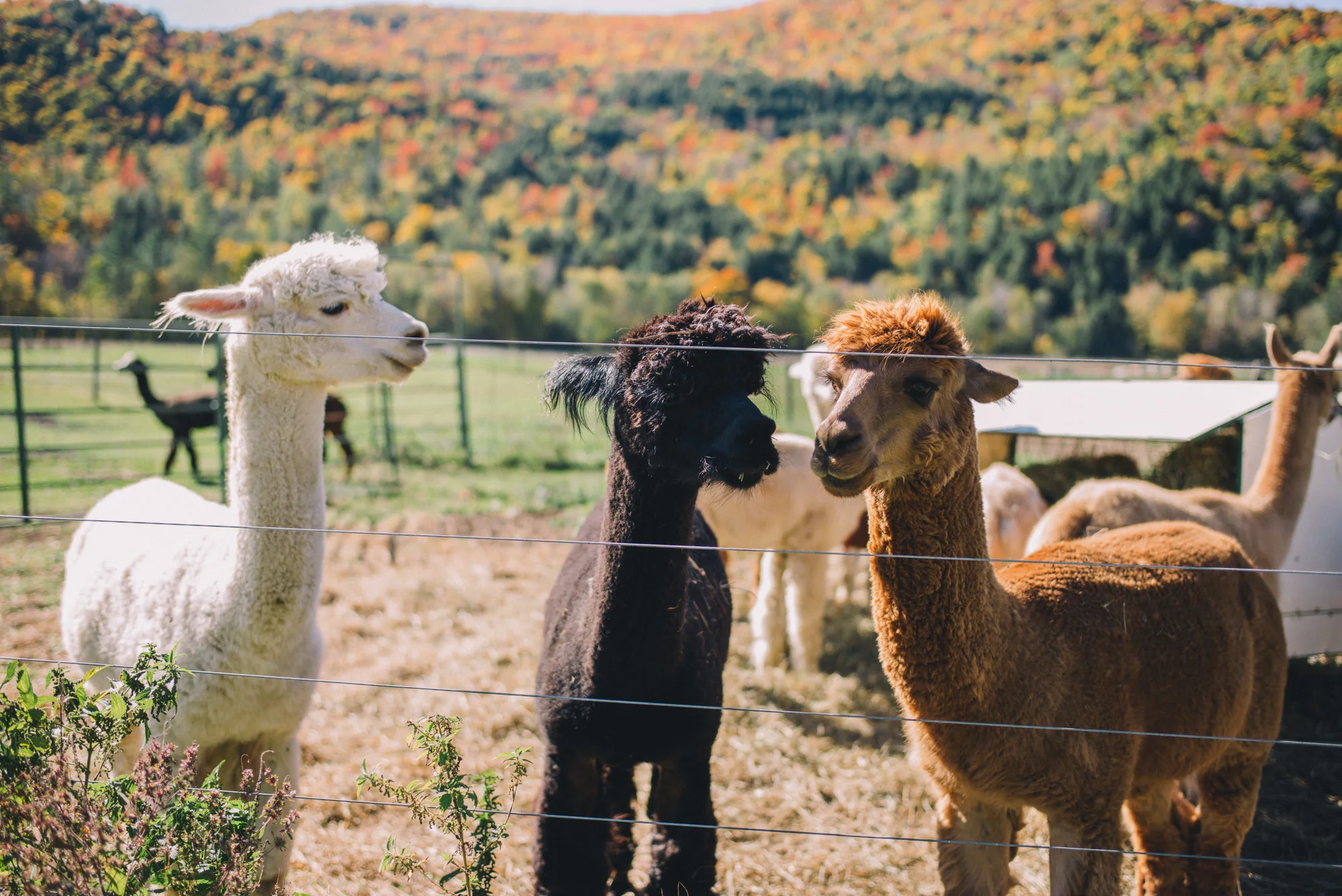
While not necessarily a fall activity, for alpaca lovers willing to go the distance for these adorable creatures, you can drive about an hour to Camel's Hump Alpaca Farm where you’ll get to meet each alpaca by name. Be sure to call ahead.